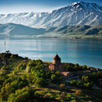
History
Latest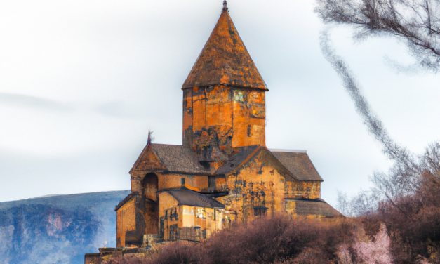
Is it safe in Armenia?
Discovering the Safety of Armenia: A Comprehensive Guide for Travelers Introduction Armenia, a...


Sights
Latest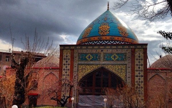
Blue Mosque, Yerevan
Walking along the streets of Yerevan you can notice many churches. All of them are cultural...

Events
Latest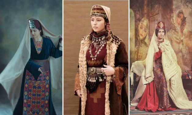
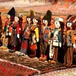
Festival of National Costumes
THE IMPORTANCE OF NATIONAL COSTUMES National, traditional costumes of various countries are an...


Activities
Latest
Snowtubing Armenia
Tubing is an amateur activity. People ride on top of an inner tube. They can do it either on water...


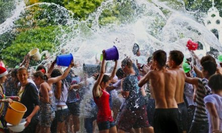
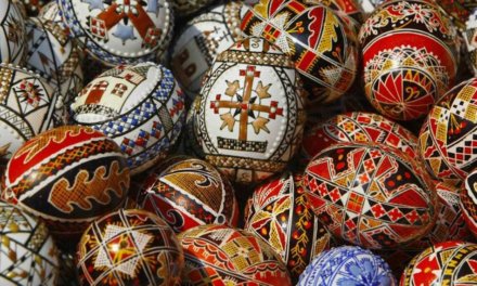
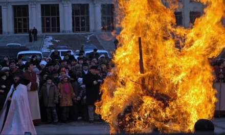
Holidays


Shopping
Popular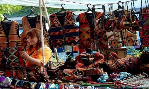
Yerevan Vernissage
Yerevan Vernissage is the ultimate place for you to get a little taste of Armenia. It is one of...


Food
Latest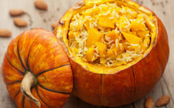
Ghapama (Xapama)
Ghapama is a traditional Eastern Armenian dish. Armenians usually prepare it for New Year and...


People
Latest
Kardashian Family
Kardashians – is the family that became known all over the world due to reality show named...


Startups
Latest
Top 10 Armenian Startups
The Top Armenian Startups: Pioneering Innovation and Growth Introduction of Armenian Startups...


Education
Latest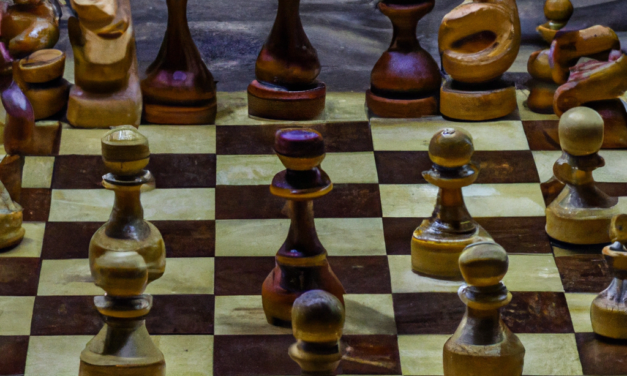
Chess in Armenia: A National Passion and a Source of Pride
Introduction Chess is not just a game in Armenia, but a national passion that has become a source...


Website Design